"The Earth is part of my body... I belong to the land out of which I came. The earth is my mother." These words by Toohoolhoolzote, a Nez Perce chief, reflect the vital, enduring relationship between his people and the land. Spoken over a century ago during negotiations with the government of the United States, they describe a way of life the tribe still observes.
The environment remains central to many of the deeply held traditional and religious values of the Nez Perce. However, natural resources are increasingly important to the tribe for other reasons as well. The tribe's forest resources staff must consider a host of social and economic factors. Today, the tribe depends on its forest lands for social and economic survival.
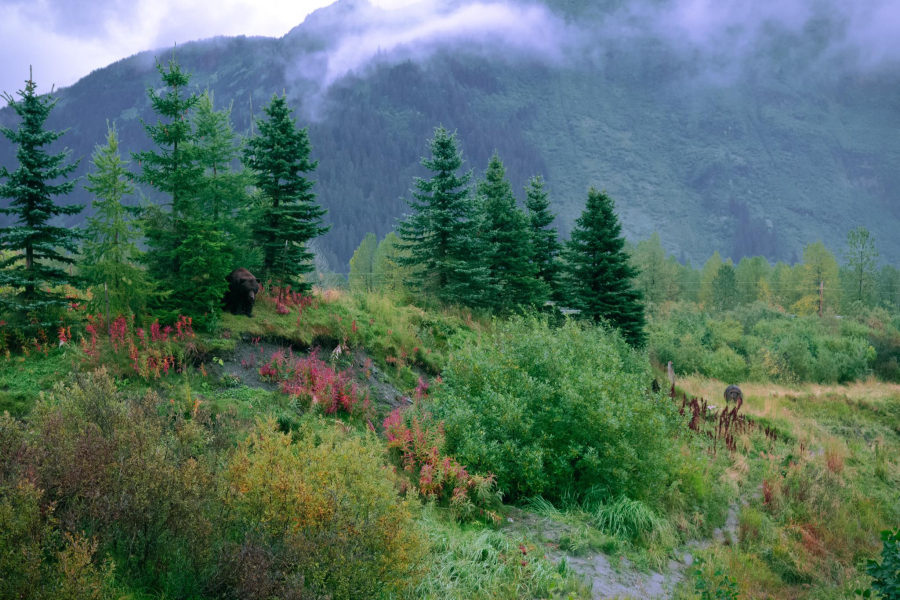
The Nee-Mee-Poo ("the People") have managed natural resources from the beginning of time. Their ancestral home in the Pacific Northwest ranged across rugged canyons, clear, rushing streams and mighty rivers, rolling high prairies, and mountain forests. They depended on the land and its creatures for physical and spiritual sustenance, and their activities reflected a unique understanding of the natural cycles turning upon the land and river systems.
In fact, the Nez Perce have long practiced a management philosophy for which Western science has only recently coined a term: integrated resource management. The Nez Perce society evolved and prospered according to the life cycles of fish, wildlife, and plants of the region. And because the well-being of any of these elements is related to the others, Nez Perces naturally came to understand the interrelationships among them.
A DIVERSE LAND
The Nez Perce once called vast areas in Washington, Oregon, and Idaho home. Traditional sources of subsistence included salmon, elk, deer, and, at one time, buffalo. They were acknowledged as excellent hunters and warriors, and developed or adopted highly effective tools for all their tasks.
On June 11, 1855, the tribe and the U.S. government negotiated a treaty defining two distinct land areas. The larger parcel, approximating their aboriginal territory, covered 13 million acres. The second, smaller area, located within the larger territory, encompassed about 7.5 million acres. The tribe kept the smaller area for its own use and ceded the remainder to the U.S. government. However, the tribe reserved the right to hunt, gather roots and berries, and pasture livestock on "open and unclaimed lands" outside the reservation. It also retained the right to fish and erect temporary structures at "all usual and accustomed places."
An 1863 treaty further reduced the reservation to its current 750,000 acres, although the tribe retained its rights on ceded lands and on open and unclaimed lands. The 1863 treaty, and the unique rights it defined, now figure prominently in negotiations regarding management of resources off the reservation.
The 1863 boundaries are those found on maps today. The 750,000-acre reservation appears as an irregularly shaped polygon in north-central Idaho, near the Washington border. The Bitterroot Range of the Rocky Mountains lies to the east and the Columbia River Basin flanks it on the west.
Following the 1863 treaty, the reservation was further reduced by the Dawes and Severalty Acts in 1887 and 1893, which opened the reservation to non-Indian settlers. Men of the tribe over 18 years old were assigned allotments of 20 acres each, with other parcels reserved for the tribe in common. The remainder of the reservation was opened for homesteading by non-Indians.
Today, tribal land holdings total only about 20 percent of the reservation land base. Non-Indians, including the federal government and state of Idalho, own about 80 percent of the 750,000 acres. Nez Perces living on or near the reservation number around 1,900, while the non-native population on the same land approaches 16,000.
The reservation's checkerboard of land ownership - with the parcels managed according to varying objectives - offers a less-than-ideal scenario for consistent, effective resource management. With a diminished land base, multiple land uses, and virtually no means to exercise control over non-Indian lands, tribal resource managers face an array of difficulties. The area's diverse geography is another factor to reckon with. Finally, tribal resource managers face the daunting task of reconciling traditional Nez Perce customs with current economic needs.
CONTEMPORARY SCIENCE JOINS TRADITIONAL ETHIC
"The Nez Perce have traditionally adopted the best tools and methods to accomplish tasks; whether it was for hunting, fishing or battle, the people were always on the lookout for the best means to do the work," comments wild-life program director Keith Lawrence. "Today the tribe is demonstrating that quality again through its use of technology on the cutting edge of resource management." In a unique alliance, Nez Perce values are being served by hightech capabilities, ensuring social and economic returns for the present while protecting forest resources, and the traditional values associated with them, for future generations.
In keeping with their reputation for adopting the best tools, the Nez Perce have enlisted the latest technology to meet the challenge of managing their land-based resources. In addition to standard mapping, inventory, and remote sensing techniques, the tribe now employs a geographic information system (GIS), global positioning technology (GPS), and satellite imagery to assess and monitor forest-related resources.
These powerful technologies will serve management decisions with the best possible science. "The commitment to nature remains," explains forest resources department manager Jaime Pinkham, "but today you will see us support this commitment by applying contemporary science and technology to managing our resources."
At the heart of the tribe's planning efforts is its ARC/INFO GIS. A GIS is a specialized computer-based system that is used to store and manage information associated with geographic locations. A user to store, manipulate, and display large quantities of data, encoded in digital form, for given locations or regions. In essence, a GIS consists of different data "layers," or themes, for a particular location. The system allows managers to visually overlay several data layers -akin to super-imposing transparencies - to get an idea of how the components relate to each other.
The power of GIS becomes apparent when the quantity of data would be too time-consuming, too costly, or impractical for planners to handle manually. Important land-management decisions could feasibly encompass information about hundreds of features, plus many more variables associated with each feature. In addition, the data might exist as maps, tables, or lists. GIS can quickly organize, analyze, and display this volume and variety of information.
"GIS provides the means to integrate information from a range of topics and address some of the complicated management problems the tribe faces today." says GIS coordinator Jack Bell. "The technology helps us organize the data associated with these problems and understand their relationships. This kind of understanding is the key to sound, sensitive decisions about resource management."
GIS also offers special capabilities to manipulate and analyze the information. For example, Bell explains, "GIS can `test run' several management options without being limited by the typical time and personnel constraints." The system allows managers to model different "realities' and get immediate feedback on management decisions.
The tribe has begun putting its GIS to work on an assortment of mapping and inventory projects, yet it is still very much in the date collection phase of the program. Data must first be acquired from the departments, and organized in appropriate formats, before the full capabilities of GIS can be realized.
Several projects are in the works, pending development of the data bases. These include mapping wildlife habitat and water resources on the reservation and surrounding watersheds. The tribe also plans to develop slope profiles to identify cable-logging opportunities and other appropriate methods for harvesting timber. GIS will also provide a means for creating a soil-erosion model, inventorying land-use patterns, making cost/ return predictions for timber products headed to market, and conducting site-productivity assessment.
Security is another valuable aspect of the GIS. For example, the tribe will be able to map the locations of threatened, endangered, and sensitive plant species, as well as those that are culturally significant, and effectively monitor those sites. The GIS will provide managers with crucial information so they may recognize and prevent potentially damaging actions from taking place. But only designated personnel will have access to the data, lessening the potential for accidental or intentional exploitation of sensitive information.
MAPPING RESOURCES
The advent of global positioning systems (GPS) is revolutionizing mapping techniques, and the tribe is also making the most of the technology, updating its existing maps and gathering data for new ones. GPS relies on a constellation of 21 satellites orbiting the earth to accurately calculate ground locations. The satellites use technology accurate enough to pinpoint positions anywhere in the world, 24 hours a day. The system can determine a user's location with an accuracy of between two to five yards.
This highly accurate information on position and on data associated with a given location can be recorded and used by the GIS. The data can be incorporated into maps tailored to a variety of management objectives. Current projects of this nature involve mapping vegetation, streams, fence lines, and property boundaries.
In conjunction with these technologies, the Nez Perce are utilizing imagery from the Landsat satellite to study land cover across the whole reservation. These images are interpreted through the use of aerial photos, field samples, and data from the Nez Perce's "continuous forest inventory" (CFI) data base. Information associated with GPS-confirmed locations will also be included and contribute yet another accurate source of information about on-the-ground features.
The tribe hopes to use GIS and GPS technology to map locations of noxious weeds on the reservation. In addition to its own vegetation survey, the tribe might participate in joint efforts with government agencies to catalog existing infestations and monitor weed growth.
The significance of such a venture is not lost on tribal resource planners. Wildlife program director Keith Lawrence predicts that, as the data base grows, the tribe's GIS/GPS capabilities will increasingly involve it in cooperative survey and management efforts in the region. The possibility of contracting tribal GIS services to other agencies is also contemplated for the future.
NEW CHALLENGES, NEW ROLES
Its growing technical sophistication has already cast the Nez Perce Tribe in a conspicuous role related to the management of resources within the reservation. On March 10, 1992, the tribe joined the state of Idaho and the Bonneville Power Administration (a federal agency that sells and transmits power from 29 dams in the Columbia River Basin) in an agreement regarding mitigation for wildlife habitat inundated when Dworshak Dam was constructed on the Clearwater River.
The action signified a landmark co-operative effort between the tribe and the Idaho Fish and Game Department, and established two trusts, totaling $17.7 million, to be used for acquiring and managing land for wildlife habitat. Tribal representatives worked with state and federal personnel to develop plans for addressing habitat losses and the host of jurisdictional concerns that would be encountered. Ultimately, the tribe will use its technical capabilities to identify suitable land parcels and management techniques for habitat mitigation.
Directors of the departments in the Nez Perce forest resource program view the tribe as its own best advocate, and as situations involving negotiations with government agencies arise, they believe their advanced technology will allow the tribe to assume a leading role in negotiations and management decisions. "These technical capabilities will allow the tribe a greater measure of control in its own destiny," explains forestry department director Scott Gasperin. "It need not be consigned to the status quo, as defined by the federal government." And by supporting comprehensive management practices, technology helps to sustain the Nez Perce heritage and traditional land ethic.
FOR FURTHER READING:
Jack Bell, "Implementing GIS on the Nez Perce Reservation," paper presented at the Geoprocessing and Surveying Conference, Boise, ID, March 8-9, 1989.
James B. Campbell, Introduction to Remote Sensing, Guilford Press, 1987.
Jeff Hurn, GPS: A Guide to the Next Utility, Trimble Navigation, 1989.
Article copyright Cultural Survival, Inc.